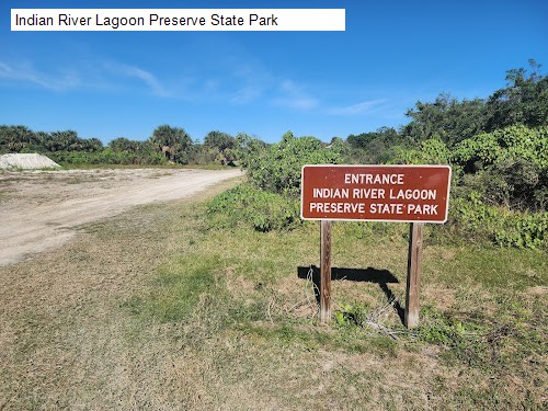
3 /5 Stephen Barron: Overall this is an okay preserve. Important things to note, there are basically no trail markers nor signs nor any real way of telling where you are going. Luckily cell service is pretty good and you can use google maps. It’s a hard dirt/gravel path clearly good for biking. Most of the water is hidden behind trees and mangroves so don’t expect a great view unless you are walking a ways. Definitely a ton of birds, pretty butterflies, 1 snake. It’s about a mile from the parking to the fork, if you go right it’s about 2 miles top the top and back for the north loop. Couple spots to see the river clearly but nothing special. The southern loop is about 4 miles there and back Bc Honest Johns had the path blocked and you CANNOT get through. Keep that in mind as it’s quite a hike. There are a couple nice beachy spots if you go south. Nothing amazing and no directions were the minuses.


